Description
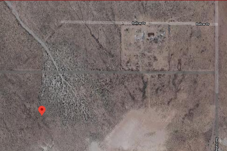
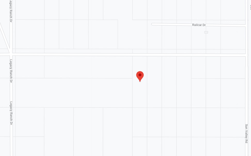
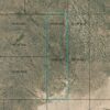
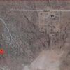
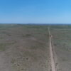
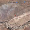
RIGHT OFF SUN VALLEY RD DIRECTLY ON A DIRT ROAD W/ ROAD FRONTAGE
Sun Valley is the “Gateway to the Petrified Forest National Park”
Inhabited area with a school, stores, a post office and other businesses and residents nearby
Hotels, restaurants and even an airport can be found in nearby Holbrook
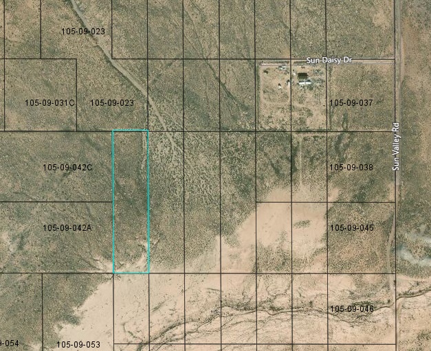
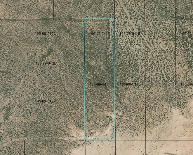
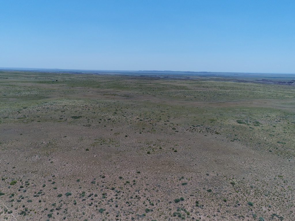
The lot measures 165′ X 670′
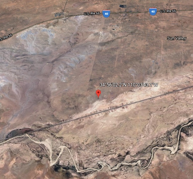
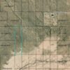
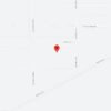
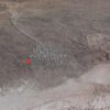
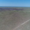
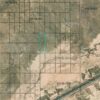
Rancho #10 Lots 63 78 is located Northeast of Holbrook, AZ
Lot is close to State Hwy 77 & US Route 66 (Interstate 40) and the Hopi Travel Plaza
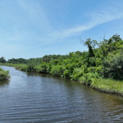
There is a seasonal wash creek slightly above the parcel
Appraised at $7500
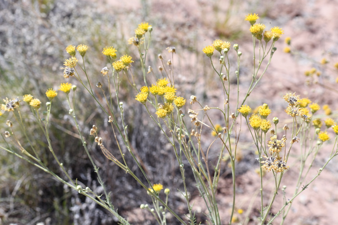
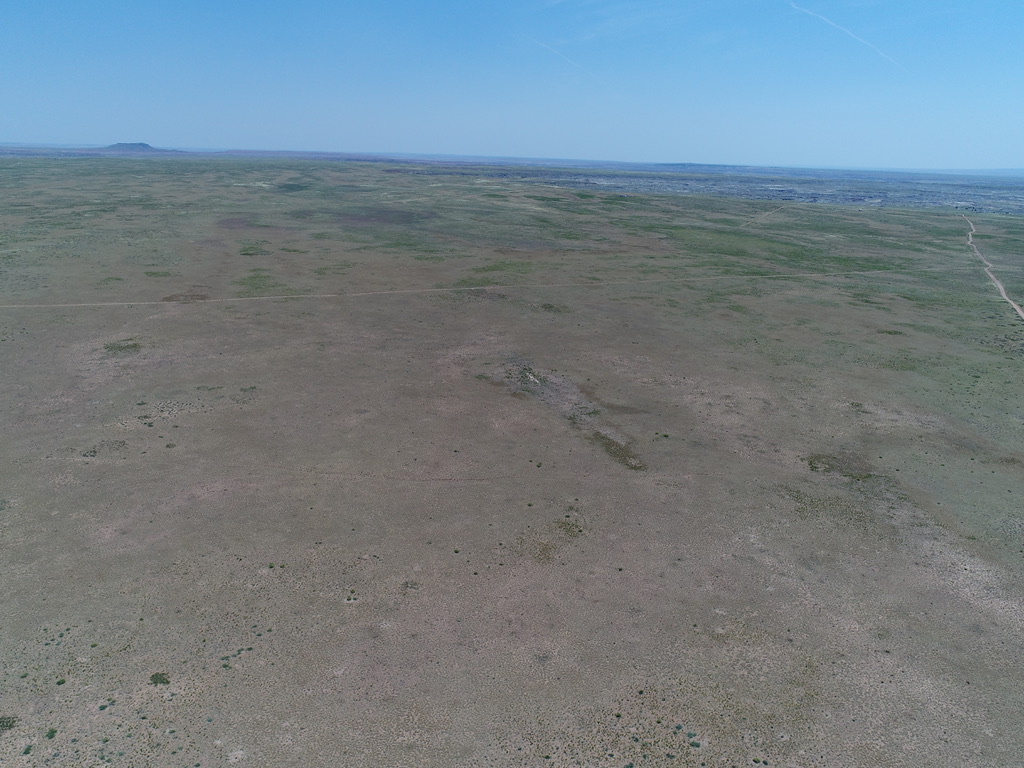
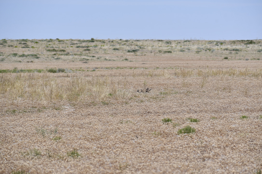
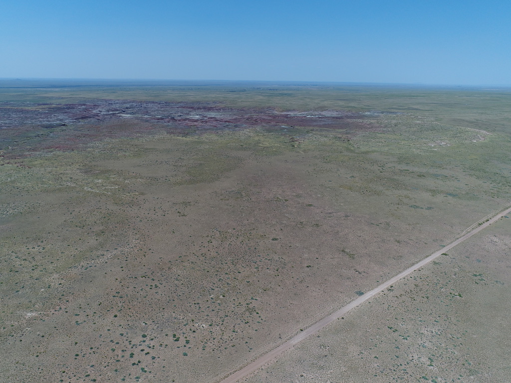
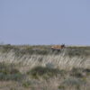
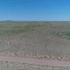
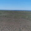
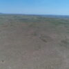
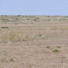
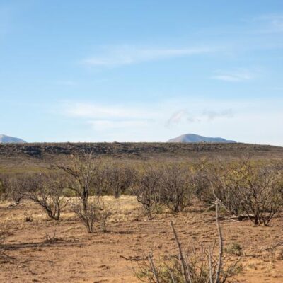
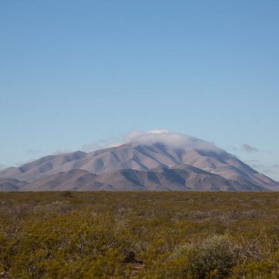
Lot is level with scenic views all around
You can put a mobile, tiny home or even a camper on the property
The Petrified Forest National Park is best known for globally significant Late Triassic fossils, the park attracts geologists, paleontologists, archaeologists, historians, and biologists
The Petrified Forest National Park is 230 square miles, encompassing semi-desert shrub steppe as well as highly eroded and colorful badlands
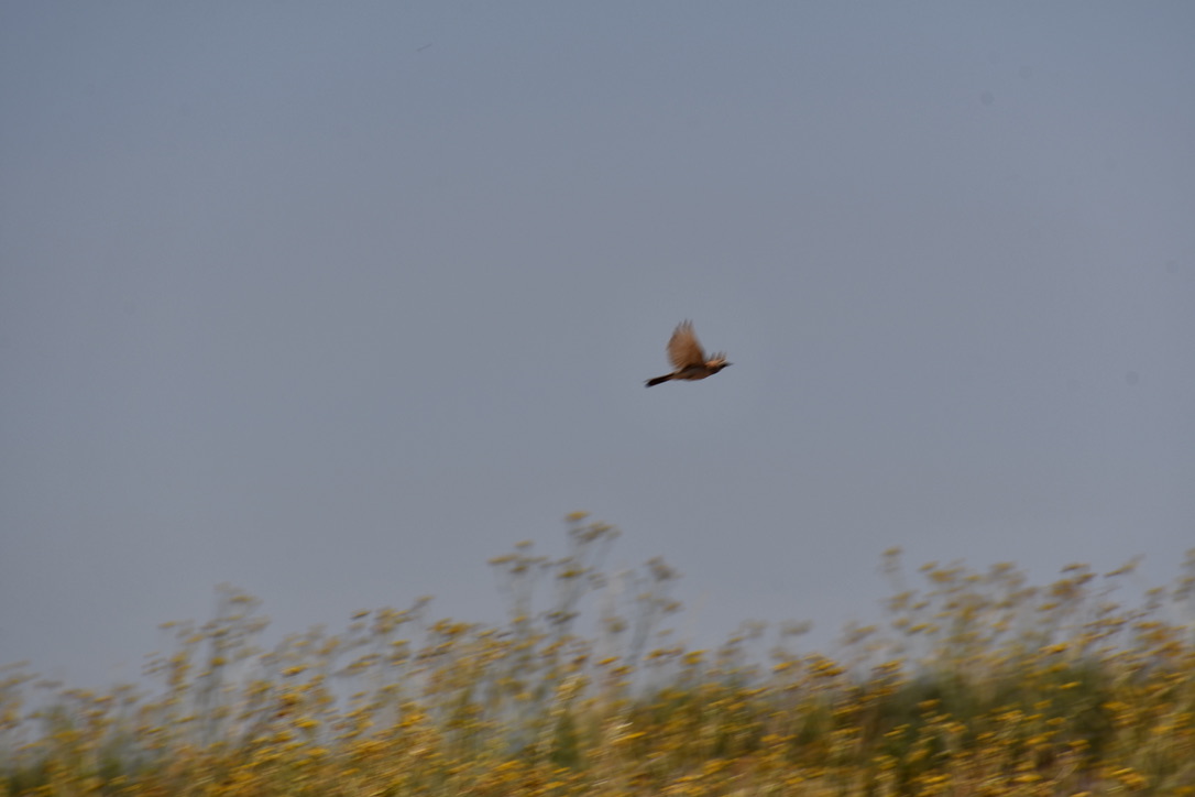
The park is also haven for those searching for scenic vistas, wilderness, hiking, dark skies, and beautiful, vast landscapes
Discover your own passion at the Petrified Forest
Dirt road access frontage feet from the property
“Sun Valley has always been a sleepy community along the old western highway of Old Route 66 and the newer Interstate 40. Not much is known about the settlement and how its roots began as a community, but it has and still remains largely rural and sparsely populated. Cattle Ranching has been one of the largest agricultural activity in the area. There are still some large tracts or ranch land around Sun Valley and cattle roam the open range of the landscape.”
Within the Painted Desert area and its broad region of rocky badlands encompassing more than 93,500 acres
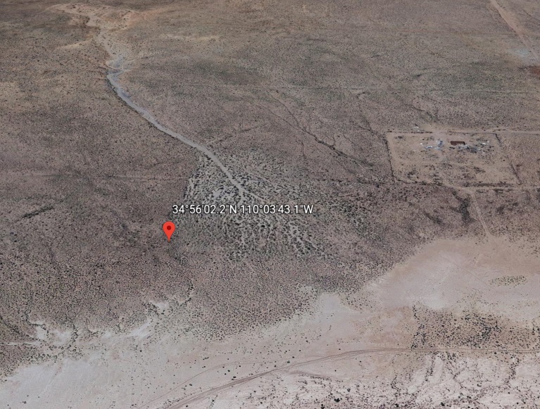
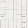
GPS Coordinates:
Parcel ID: 105-09-041F
NW: 34°56’05.1″N 110°03’44.1″W
(34.934759, -110.062246)
NE: 34°56’05.1″N 110°03’42.1″W
(34.934758, -110.061690)
SE: 34°55’59.3″N 110°03’42.1″W
(34.933135, -110.061693)
SW: 34°55’59.3″N 110°03’44.1″W
(34.933135, -110.062249)
Elevation 5615′
No back taxes
No liens
No HOA fees
No payments
No restrictions
No time limit to build
Navajo County
Parcel ID: 105-09-041F
Legal Description: Section 25, T18N,R21E: Rancho #10 Lots 63 78 Out Of 105-09-041C For “2009” Roll
Size: 2.50 Acres
PLSS TRS: T18N R21E S25
Legal Class: Vacant/Agricultural Land
Holbrook Unified School District
Annual Taxes approximately $22/year
Primary Zoning: A-General
Use:
SINGLE FAMILY: Single family dwellings, agricultural, barns, churches, commercial feed lots*, contractor’s yard*, corrals, educational religious charitable or philanthropic institutions, farms, feed stores (5 acre min), fire & police stations, golf courses & driving ranges, guest houses*, home occupations, hospitals, libraries, museums, nurseries, parks, playgrounds, post offices, public schools, public & private forests & wildlife reservations, public riding & boarding stables (10 acre min), quarters for servants & caretakers*, roadside stands, tennis courts, utility facilities.
$599 Document Fee
Warranty Deed
Straight Cash Sale
Please ask all questions before purchasing
The Seller will send Warranty Deed out via Priority Mail within three business days of payment clearance conveying property


Reviews
There are no reviews yet.